
Mobility in the 15-Minute City
Image
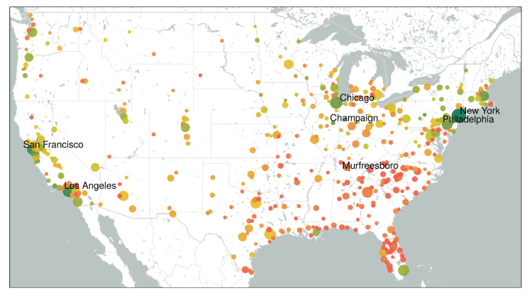
The project uses large scale urban mobility data sets derived by cell phone data to quantify to what extent US cities are conforming to the 15-min city vision, according to which primary services should be accessible within a 15min walking/biking radius. Besides accessibility, the project investigates to what extent local services are actually used by residents, and whether and to what extent localized mobility as promoted in the 15-min city concept might induce more social segregation within the city.
Team members include: Timur Abbiasov, Cate Heine, Edward Glaeser, Carlo Ratti, Sadegh Sabouri, Arianna Salazar Miranda, Paolo Santi
Image credit: Senseable City Lab, data via Safegraph